Contact Us For
Nata Prepation
Gates Architectural
Prepartion
http://garcacademy.com/
X
ISO 9001:2008 Certified & UGC Approved , AICTE Approved, DEC Approved & AIU Approved Institute
kailashsinghbisht@gmail.com
9910508457, 9250925667
NEW ACCOUNT SIGN UP
/
STUDENT LOGIN
Home
About Us
Courses
Architectural Courses
AutoCAD (2D & 3D)
PhotoShop
Dialux
3Ds Max (Interior/Exterior)
Rhinoceros
V-Ray (Lights & Render)
Revit Architecture
3D Interior/Architectural Design
Interior Designing
Diploma In Interior Designing
B.Sc In Interior Designing
Hand Drafting
Autocad
Master Diploma Architectural
Diploma In Interior Designing
Diploma In Architectural Designing
Civil Engineers Course
Diploma In Civil Engineering
B-Tech Civil Engineering
Staad-Pro
Microstation
Primavera
Green Building Architecture
MSP
Civil 3d
Revit MEP
E-tab
Revit Structure
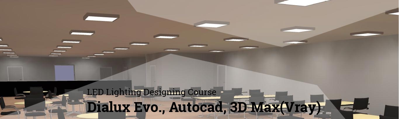
LED Lighting Designing Course
Mechanical Courses
Diploma in Mechanical
B-Tech in Mechanical
AutoCAD (2D & 3D)
Catia Version 5
Solid Works
3D Mechanical Designing
UGC Approved University
Sobhit University
KSOU University
NIMS University
GBB University
EILM University
Mahatma Gandhi University
Multimedia & Animation Courses
Graphic Designing
Animation & VFX
Graphic & Web Designing
Multimedia & Animation
B.Sc Multimedia & Animation
Why Us
Portfolio
Franchise
Contact Us
previous
next
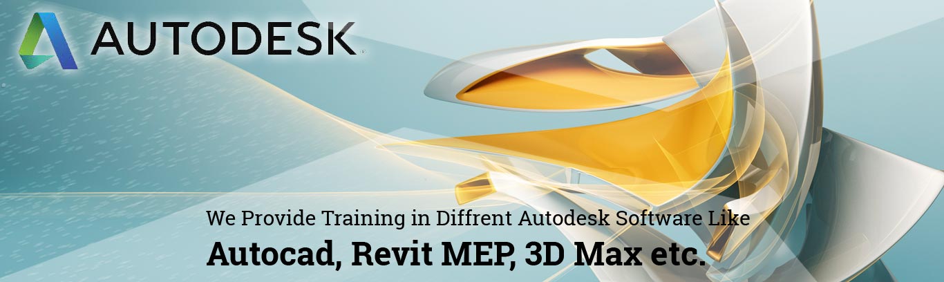
AutoDesk Training
Interior Designing
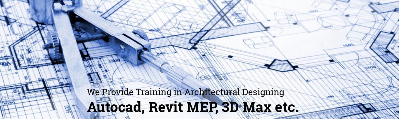
Architectural Design
LED Lighting Designing
Web & Multimedia
UGC Approved Degree Courses
Corporate Training
Autocad Civil 3D Course
COURSES CONTENTS
Introduction
Land Survey
Land Development
Transportation Design
AutoCAD Civil 3D
Working Environment
Work Space
Tool Space
Object
Object Style
Label Style
Creating Template
Creating Reports
Working with Point Data
Creating and Editing Points
» Miscellaneous
» Intersection
Working with Point Data
Creating and Editing Points
» Point Styles
» Point Group
Import/Export Points
Surface
How to create a surface based on Points
Modifying Surface
Surface Styles
Surface Label Styles
Create Points from Surface
Survey: Total Station
Creating Survey Database
Creating Survey Network
Creating Figure Styles and Prefix
Importing Field Book
Working with Survey Data
Creating Surface
LiDAR Survey
Introduction to LiDAR
How to Import LiDAR Survey Data
Creating Surface
Working with DEM files
Surface Analysis
Direction
Elevation
Slope
Slope Arrow
Water Shed
Water Drop
Catchment Area
Legend Table
Earthwork Calculation
Create surface by
» Breaklines
» Contours
» Drawing Objects
Alignment Creation
Horizontal Profile View generation
Customising Profile Views
Create a Volume Surface
Volume Calculation
Parcel
Site
Creating Parcels
» From Object
» By Layout
Creating Right Of Way
Editing Parcels
Labelling Parcels
Creating Tables
Project :Land Development
Design Criteria Editor
Alignment from Polyline
» Alignment Style
» Alignment Label Style
» Design Criteria
» Design Check Set
Alignment by Layout
Edit Alignment Geometry
Tables
Best Fit Alignment
Create Offset Alignment
Create Widening
Assembly
Create Assembly from Library
Create Sub-assembly from polyline
Assembly Offset
Corridor and Corridor Surface
Create Corridor
View/Edit Corridor Sections
Super Elevation
Corridor Surface
Corridor Surface Boundaries
Roundabout Design
Add Approach
Add Turn Slip Land
Create Corridors
Corridor Surface
Grading
Feature Lines
Grading Surface
Label
Quantity Takeoff
Sample Lines
Section Views
Compute Materials
» Earthwork
» Material Quantity Takeoff
» Creating New Criteria
Pipe Network
Parts List
Pipe Network by Layout
Pipe Network from Object
Edit Pipe Network
Draw Parts in Profile View
Create and Apply Rules
Pipe Network Labels
Pipe Network Tables
Project: Transportation Design
Our Services
Our Courses
Online Training Classs
Corporate Training
ICMT Running under hope floats Foundation
UGC Approved , AICTE Approved, DEC Approved & AIU Approved
Quick Query
ONLINE ENQUIRY
Name
Email
Phone
Courses
Multimedia & Animation Courses
Architect/Civil Courses
Mechanical & Electrical Courses
Interior Designing
Draftsman Civil
Diploma in Mechanical
B-Tech in Mechanical
Diploma In Interior Designing
B.Sc Animation
Diploma In Civli Engineering
B-Tech Civil Engineering
B.A & Master Course
Dailux Training
Revit MEP Training
Message
Copyright© 2009 Gemini Architectural Design.